BATH
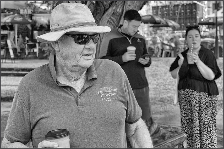
The Uber taxi dropped us off at Pulteney Bridge, from where we took a river cruise with Pulteney Cruisers.
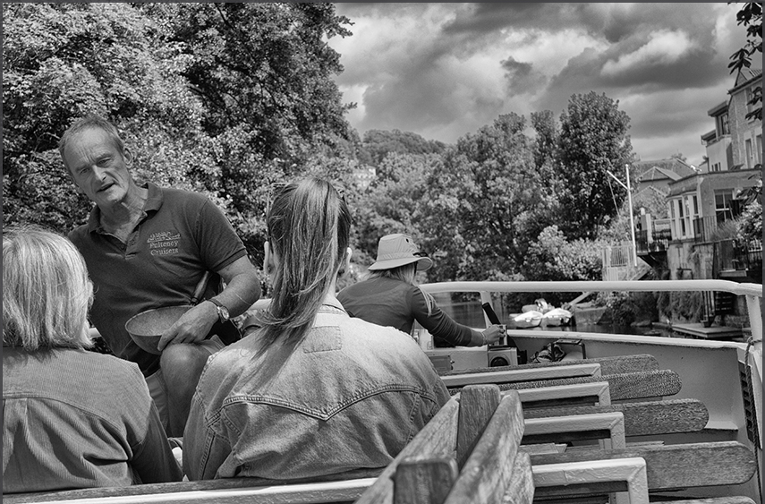
The river cruise on the River Avon (one of 6 rivers of the same name in the UK we were told, which have nothing
to do with each other)
was a bit disappointing. We learned nothing of Bath, it was more like a biology lesson
about the river and environment. Still, a nice way to start the day.
en.wikipedia.org/wiki/River_Avon,_Bristol
"The name 'Avon' is loaned from the Common Brittonic abona, "river", which survives in the Welsh word afon.
"River Avon", therefore, literally means "river river"; several other English and Scottish rivers share the name.
The County of Avon that existed from 1974 to 1996 was named after the river, and covered Bristol, Bath,
and the lower Avon valley."
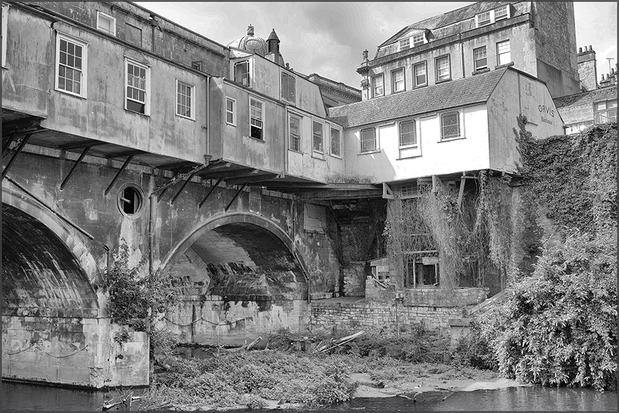
'Pulteney Bridge is a bridge over the River Avon in Bath, England. It was completed by 1774, and connected the city with land in Bathwick which Sir William Pulteney and his family wished to develop. Designed by Robert Adam in a Palladian style, it is one of only four bridges in the world to have shops across its full span on both sides. The bridge is named after Frances Pulteney, wife of the Scottish lawyer and politician Sir William Pulteney, 5th Baronet. Frances was a first cousin once removed of William Pulteney, 1st Earl of Bath. She inherited the Earl's substantial fortune in Somerset after his death in 1764. Within 20 years of its construction, alterations were made that expanded the shops and changed the façades. By the end of the 18th century, it had been damaged by floods, but was rebuilt to a similar design. Over the next century alterations to the shops included cantilevered extensions on the bridge's north face. In the 20th century, several schemes were carried out to preserve the bridge and partially return it to its original appearance, enhancing its appeal as a tourist attraction. Although there have been plans to pedestrianise the bridge, it is still used by buses and taxis. The much photographed bridge and weir below are close to the centre of the city, a World Heritage Site, renowned for its Georgian architecture.' [¬ Wikipedia] |
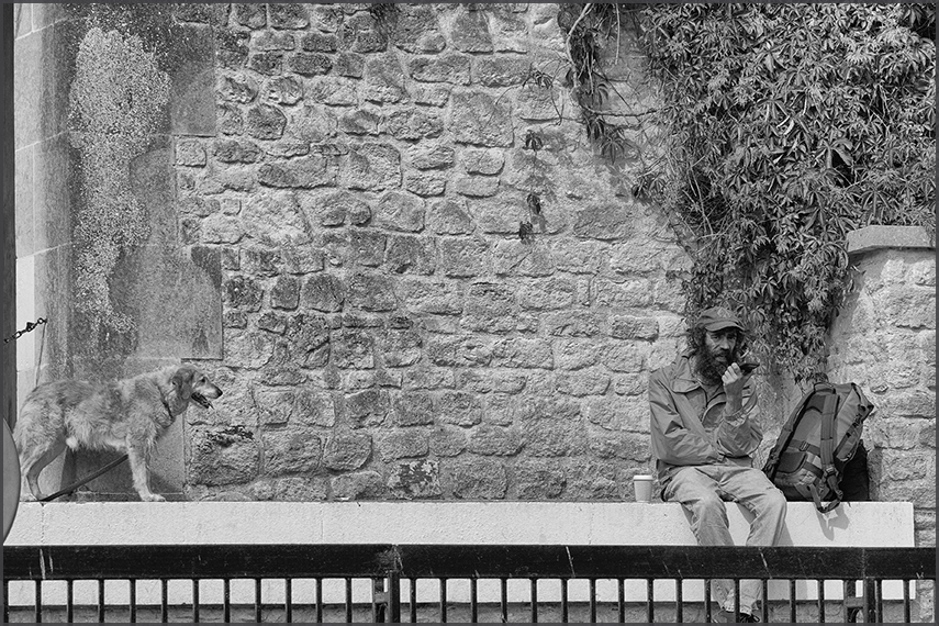
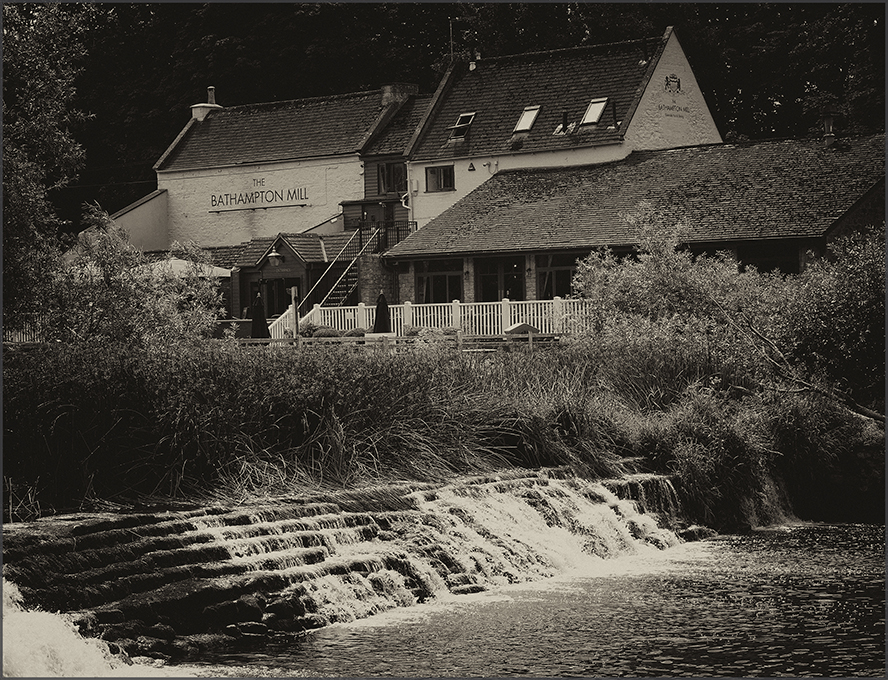
Bathampton Mill, this is where the river cruise turns for the return trip.
Upstream from Pulteney Weir is the Bathampton Weir. It is around 600 years old. It was constructed to provide enough depth in the water for the waterwheels of grain mills that once stood on either side of the river. Pulteney Weir is an iconic structure, but why have it in the heart of Bath? What was its purpose? Together with the two weirs at Twerton, it was key to Bath’s fortunes. The River Avon in Bath could be made safer for boats through a combination of engineering improvements, better river management and stricter navigation rules. |
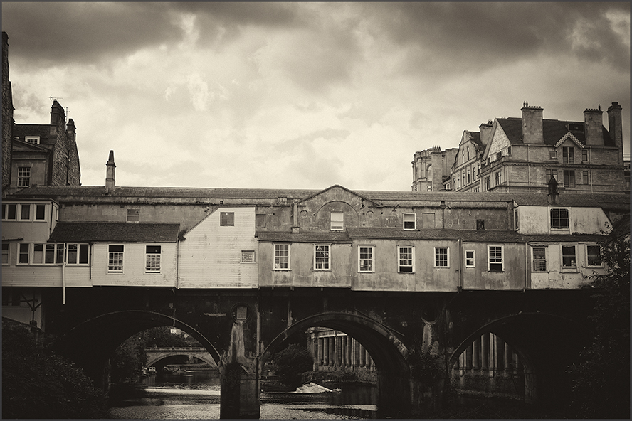
Pulteney Bridge
'In 1792 alterations were made during which the bridge was widened to 18 metres and the shops enlarged,
converting the original 16 shops into 6 larger ones. Floods in 1799 and 1800 wrecked the north side of the bridge,
which had been constructed with inadequate supporting piling works. A temporary bridge was erected, and
repairs were completed in 1804'. ¬ Wikipedia
After a major flood in 1960 damaged Pulteney Bridge, it was rebuilt into the ‘V’ shape one sees today.
The weir now helps protect historic buildings and keeps water levels steady. From source to sea, the Avon has
41 weirs, locks and barriers.
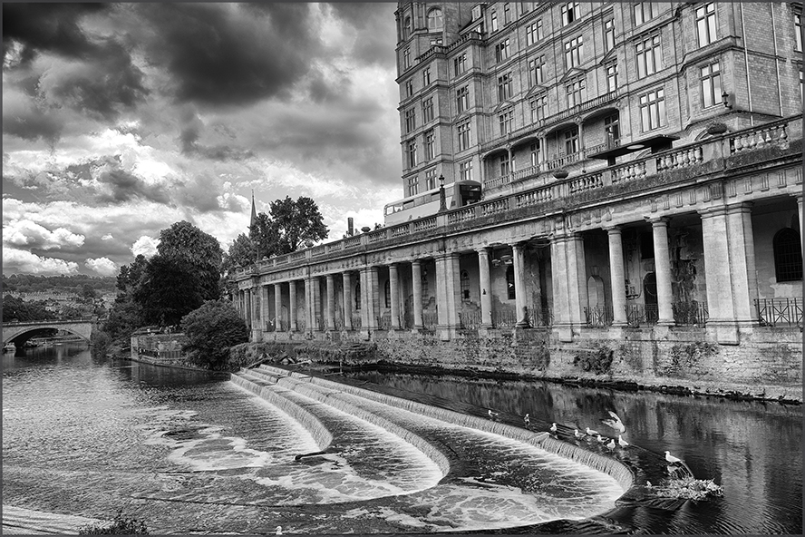
The weir has a lovely cascading appearance, with a series of three small waterfalls. It looks more like a decorative
water feature than a system of flow control. However it served two very practical purposes. The first was to
prevent flooding. Due to the risk of floods, Bath has had a weir since the 16th century (although what you see
here today was built in the 1970s). The river here is an important part of Bath's flood defences, and it is not
currently designated as a navigable stretch for ordinary boat navigation.
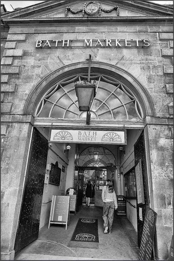
Bath Guildhall (Market), it is an 18th-century municipal building in central Bath.
The earliest mention of a guildhall here was in 1359, where it used to be the meeting place of the powerful
trade guilds, it was a timber-framed building with a tiled roof and stone floors strewn with rushes.
The current Bath stone building was built between 1775 and 1778 and extended by John McKean Brydon in 1893.
In 1552, a single-storey market house was built on the site of the medieval marketplace on High Street.
This building was later demolished and combined with the Jacobean guildhall, completed in 1627.
Bath Guildhall Market is behind the Guildhall, and can be accessed by its own entrance tunnel through the Guildhall.
It has traded on its site for the last 800 years. About 20 stall holders trade there nowadays.
The Guildhall Market suffered considerable damage in a fire on 25 April 1972. [¬ Wikipedia]
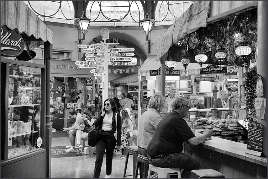
We shopped at Skoobs Books for secondhand books.
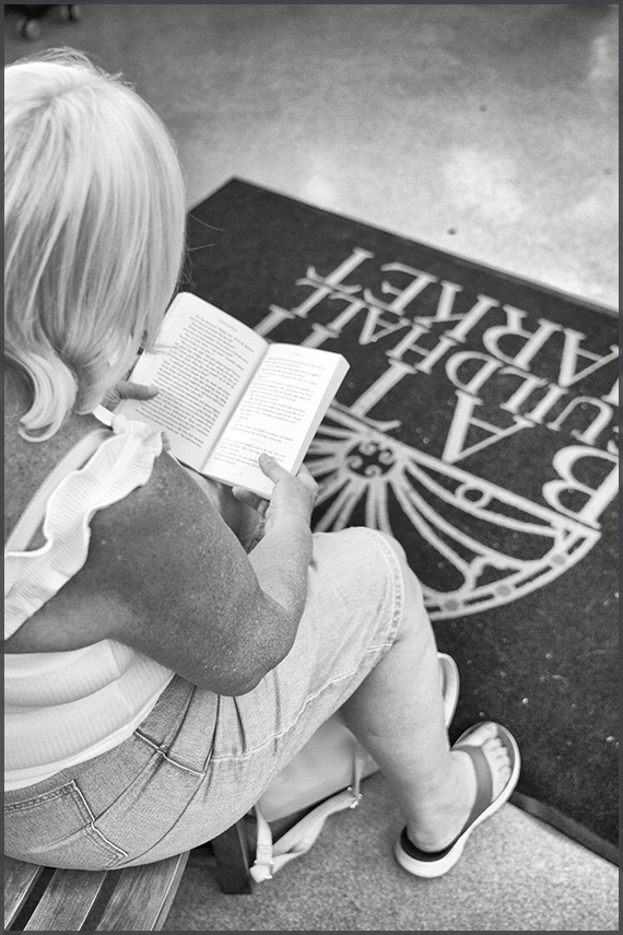
#OnReading
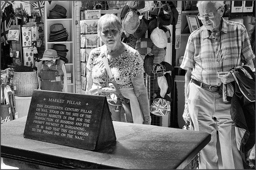
Market Pillar, 1768
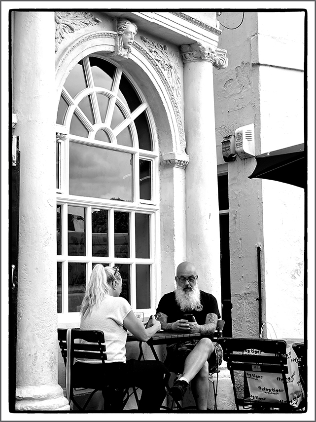
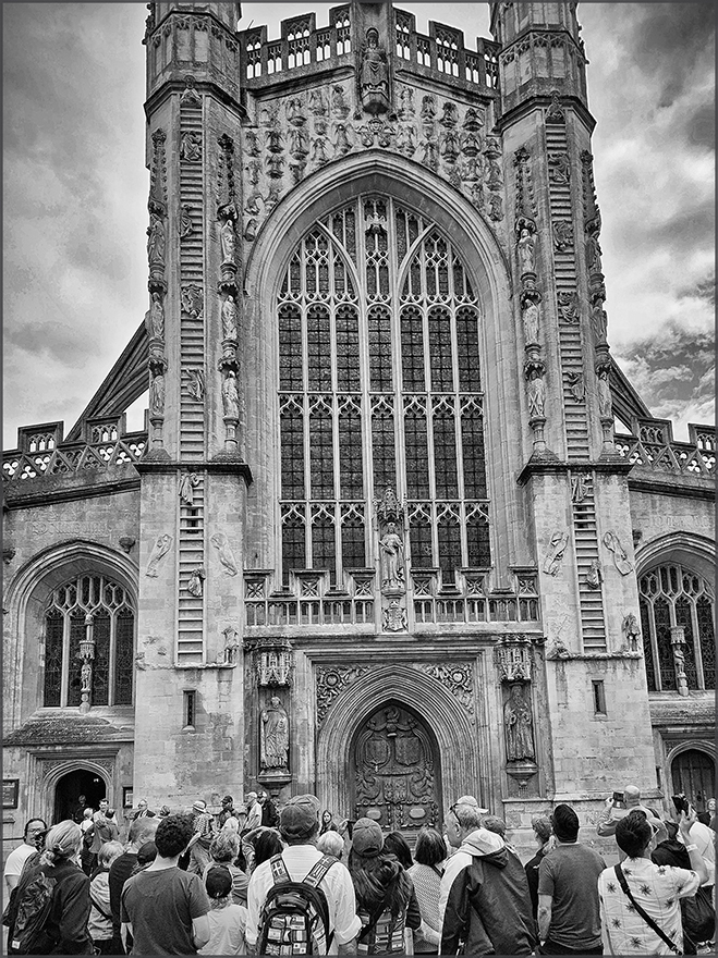
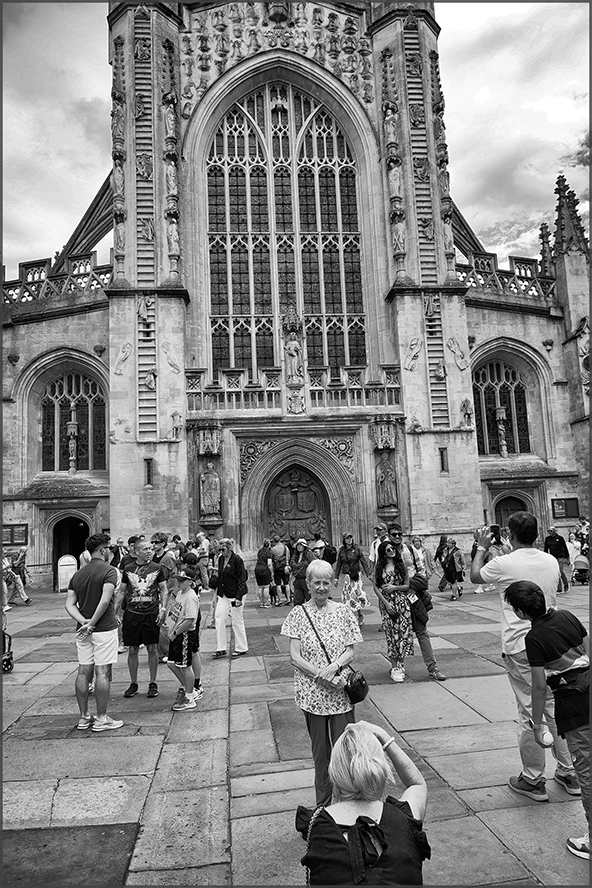
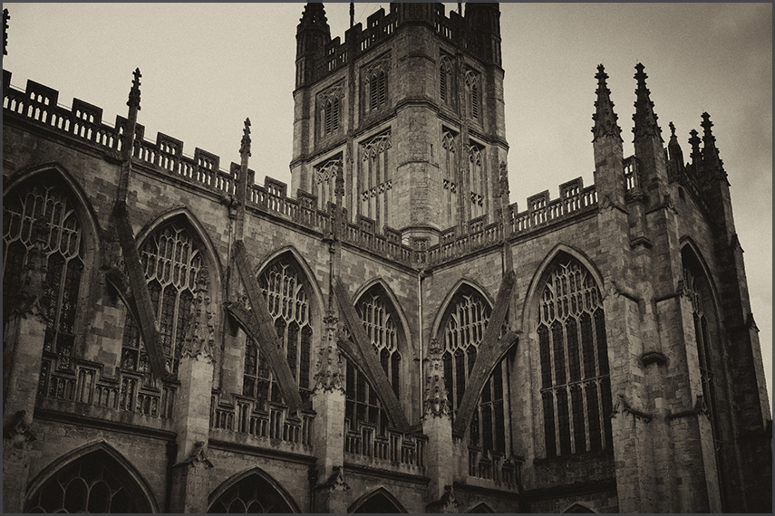
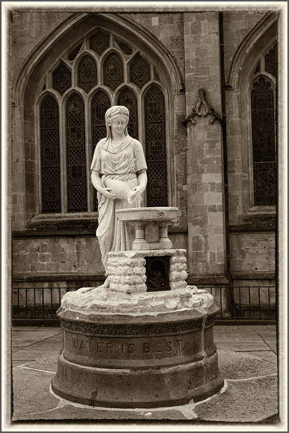
'Water Is Best'
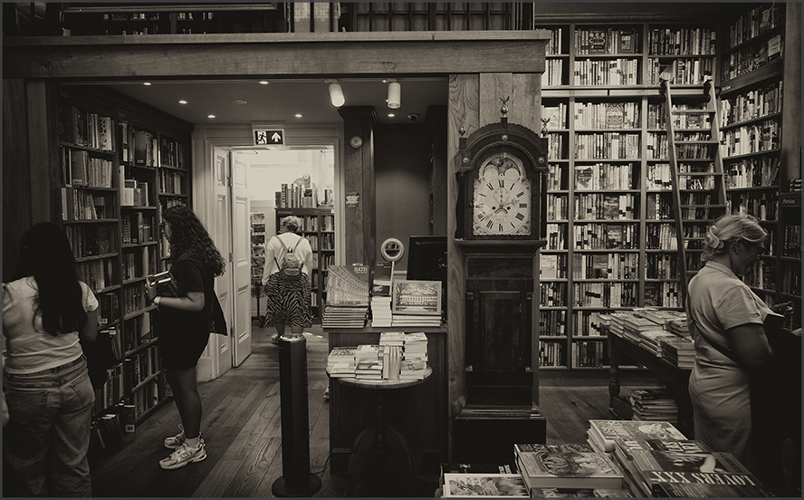
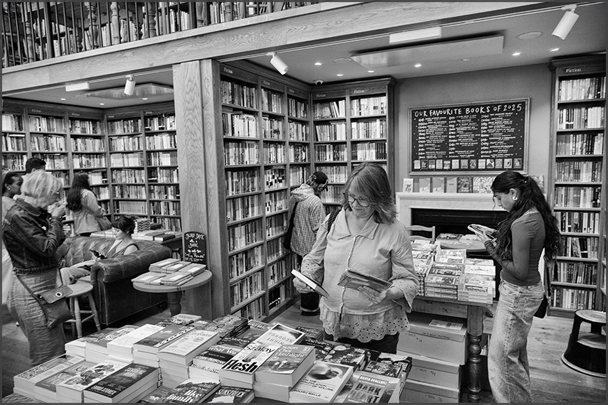
Topping Bookstore @Bath. We did not leave empty handed!
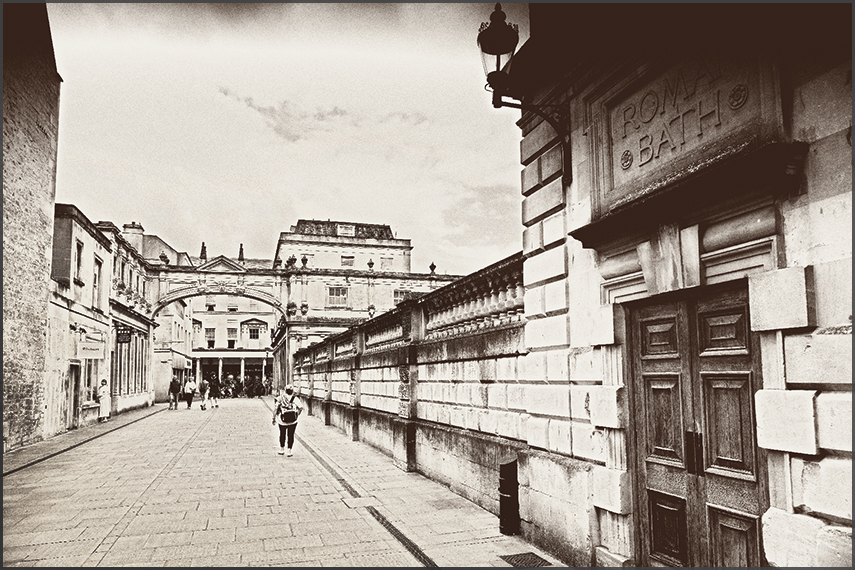
ROMAN BATHS
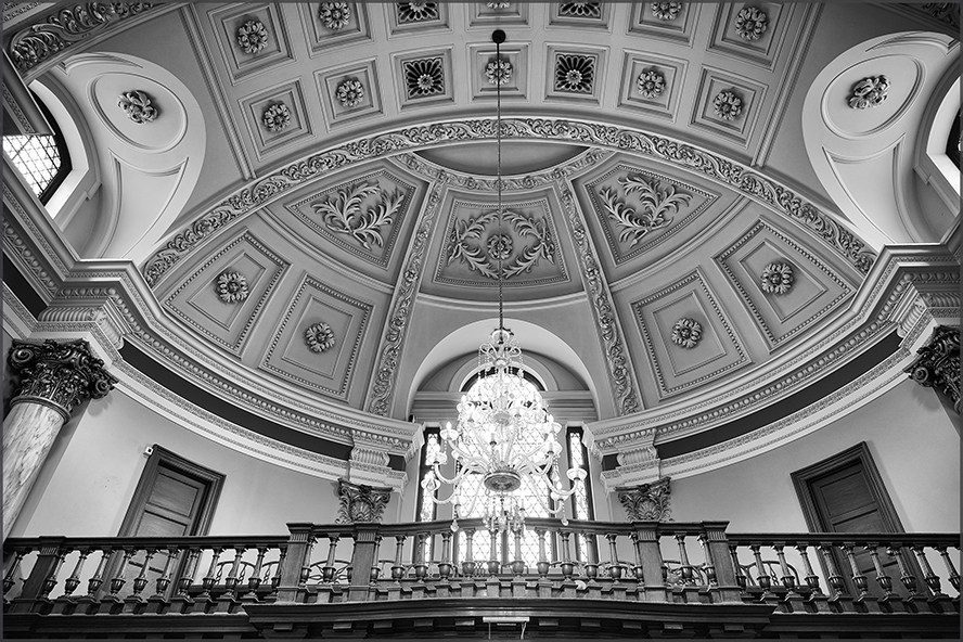
The entrance
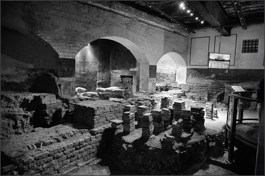
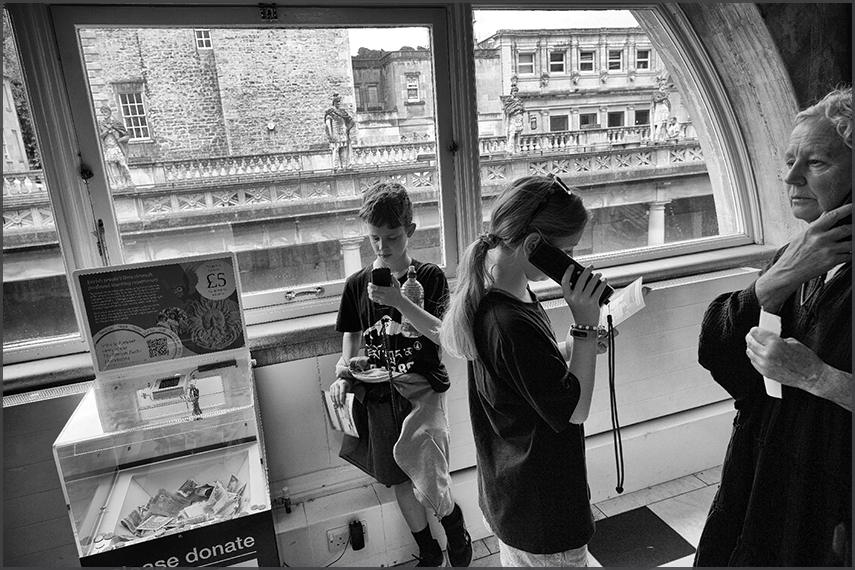
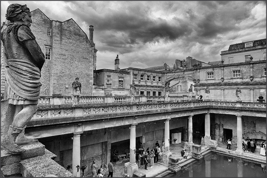
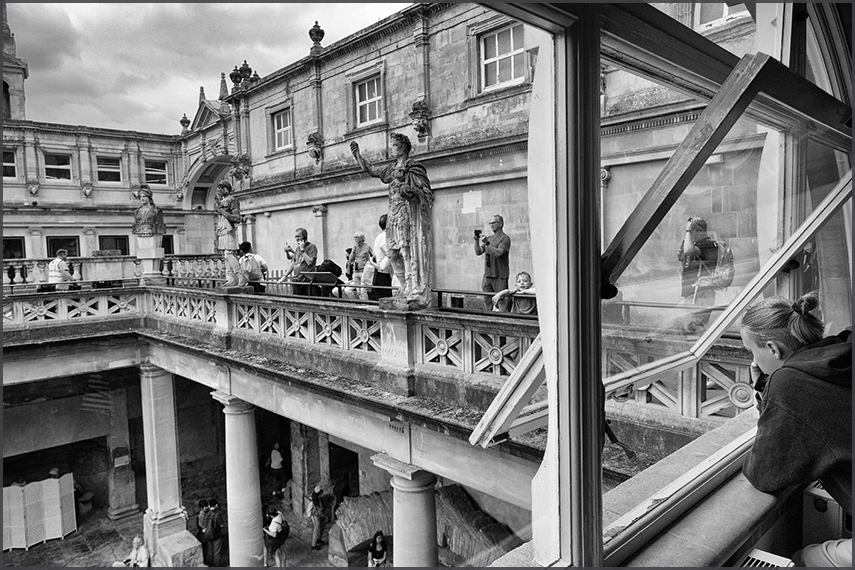
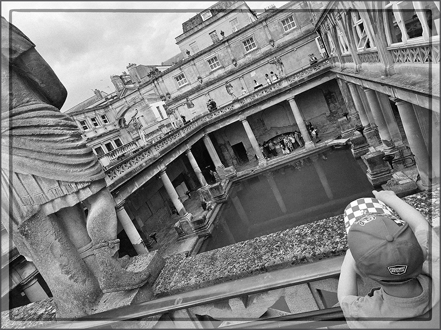
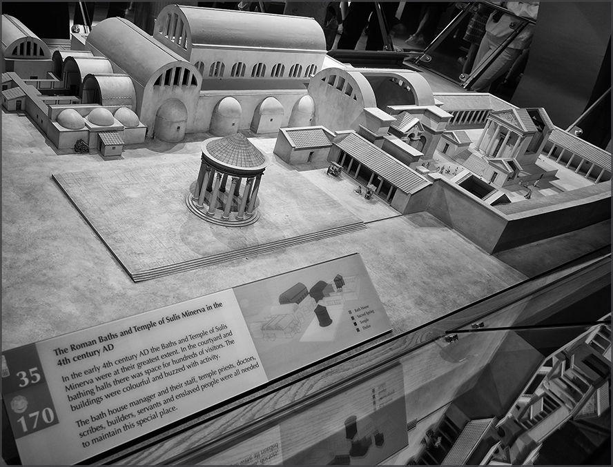
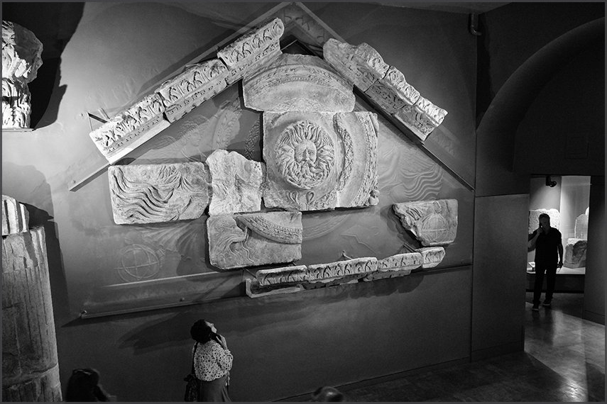
The Roman Baths are well-preserved thermae in the city of Bath, Somerset, England. A temple was constructed on the site between 60 and 70 AD in the first few decades of Roman Britain. Its presence led to the development of the small Roman urban settlement known as Aquae Sulis around the site. The Roman baths were designed for public bathing and were used until the end of Roman rule in Britain in the 5th century AD. According to the Anglo-Saxon Chronicle, the original Roman baths were in ruins a century later. The area around the natural springs was redeveloped several times during the Early and Late Middle Ages. [¬ Wikipedia] |
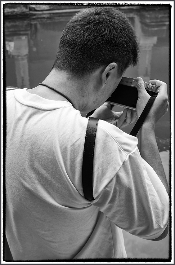
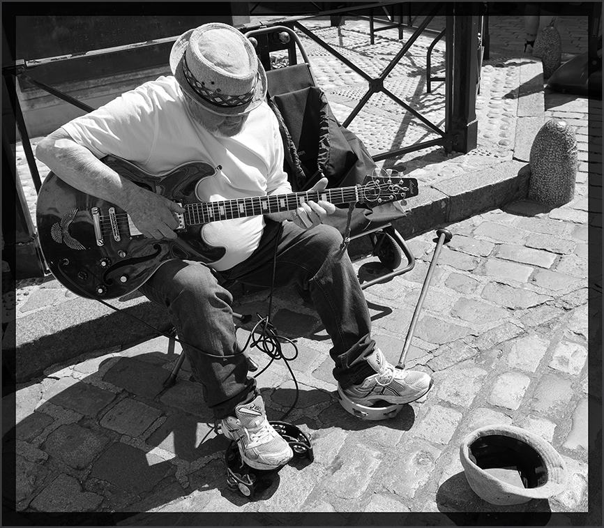
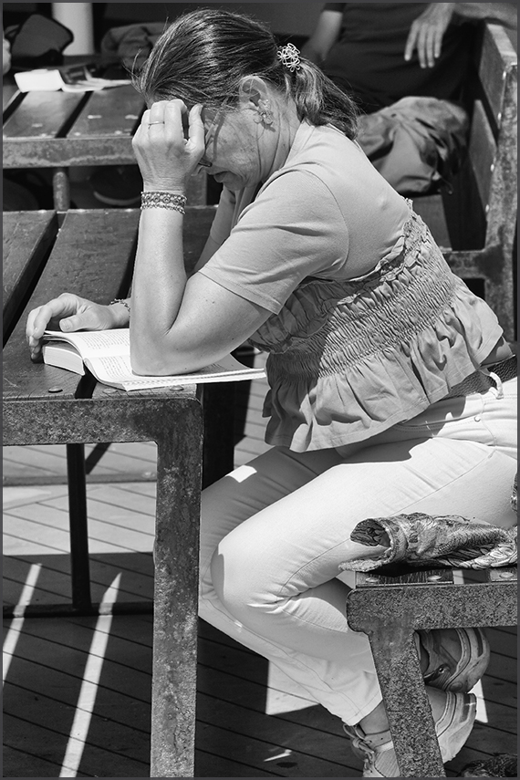
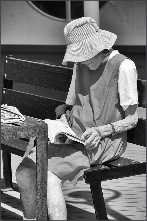
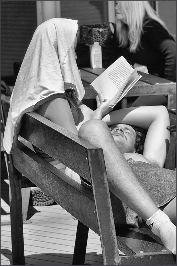
A Leica M11 in action!
 TA-DA....
 THE END!

 ENGLAND 2026 BLACK & WHITE - PAGE ONE

