 Photos © Ruud Leeuw
Photos © Ruud Leeuw
Utah in May... While we enjoyed temperatures around and over 100F in Arizona a few days before, in Utah we saw snow in more places than one. this State clearly sits at an higher altitude and indeed, mountains and deep canyons are never far.
Utah is known for its geological diversity ranging from snowcapped mountains to well-watered river valleys to rugged, stony deserts. It is also known for being one of the most religiously homogeneous states in the Union, with approximately 58 percent of its adult inhabitants claiming membership in The Church of Jesus Christ of Latter-day Saints (also known as the Mormon Church or the LDS Church), which greatly influences Utah culture and daily life. Click on the thumbnail images to view a larger image |
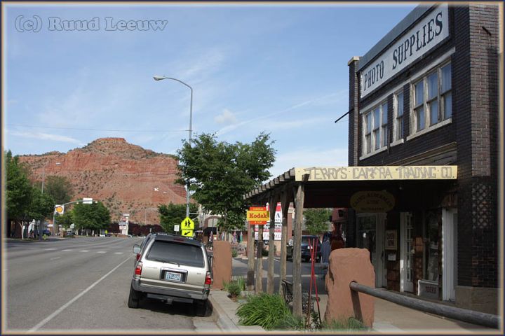 Kanab is a much nicer place than Page. We stayed in a very nice hotel, the Clarion (a Victorian Charm Hotel). A nice restaurant (without a 30 minute standby) was a little bit harder to find. |

Denny's Wigwam is a fantastic souvenir shop, you can browse for hours here! I bought a nice belt. In terms of souvenirs there isn't much you fail to see here; even if you have no intention of buying anything (like I did, I had made myself a solumn promise, but..) it is a recommended stop to just look around. |
|
Maybe we should have stopped here, but I just can't if I just started out 15 mins ago. Besides, we had another full program on this day: Kodachrome Basin and Bryce Canyon. |
 |
 |
 For an as yet unexplicable reason I am intrigued by abandoned structures and especially gasstations.. |
 Dixie National Forest is a US National Forest in Utah with headquarters in Cedar City. Dixie National Forest is a US National Forest in Utah with headquarters in Cedar City. It occupies almost two million acres (8,000 km²) and stretches for about 170 miles (270 km) across southern Utah. The largest national forest in Utah, it straddles the divide between the Great Basin and the Colorado River. Elevations vary from 2,800 feet (850 m) above sea level near St. George, Utah to 11,322 feet (3,451 m) at Blue Bell Knoll on Boulder Mountain. Temperature extremes can be impressive, with summer temperatures exceeding 100 degrees Fahrenheit (38 degrees Celsius) near St. George and winter lows exceeding -30 degrees Fahrenheit (-34 degrees Celsius) on the plateau tops. [Wikipedia] |
 Kodachrome Basin State Park |


|

|
|
Kodachrome Basin State Park is a small state park in Utah. It is situated 5,800-foot (1,767.8 m) above sea level, 12 miles south of Utah Route 12, and 20 miles (32 km) southeast of Bryce Canyon National Park. |
Mathilda van Herk-Bogerd provided the identification for me: |

A 15-minute hike brings you to an arch: a good excuse to get out of the car. |
 In 1948 the National Geographic Society explored and photographed the area for a story that appeared in the Sep.1949 issue of National Geographic. They named the area Kodachrome Flat, after the then relatively new brand of Kodak film they used.
 In 1962 the area was designated a State Park. Fearing repercussions from the Kodak film company for using the name Kodachrome, the name was changed to Chimney Rock State Park, but renamed Kodachrome Basin a few years later with Kodak's permission. [Wikipedia] |

|
 |
 |
 |
 |
 |
 Came along this farm while returning the way we came, heading for Bryce Canyon. |
 |
 |
 |
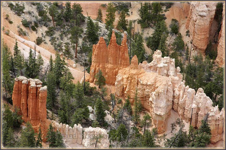
| Bryce Canyon National Park isn’t actually a canyon. This geological marvel is made up of more than a dozen carved-out natural amphitheaters, which means a large hollow in the rock. Each of these is carved 1,000 feet into the stone forming the stunning scenery that draws in visitors from around the world. |
 |
 |
 |
|
|
 |
 |
 |
 |
 A few more derelict structures along the way. Above: would this be a mine (it is hooked up to electricity, it seems) ??? |
 |
 |
 |
 |
 |
The scenic byways have one disadvantage: no gasstations! Since we did not get to any towns I got to a point where I got a little nervous, but all went well. |
 |
 |
| We travelled through a very diverse, but mostly rugged, country. We spent the night in a nice Quality Inn in Richfield. |
 |
 |
 How will we look back on these prices in 10 years time. And how will we look back on gasoline fuel in 20 years time..? |
 |
 |
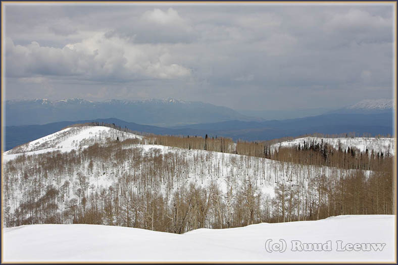
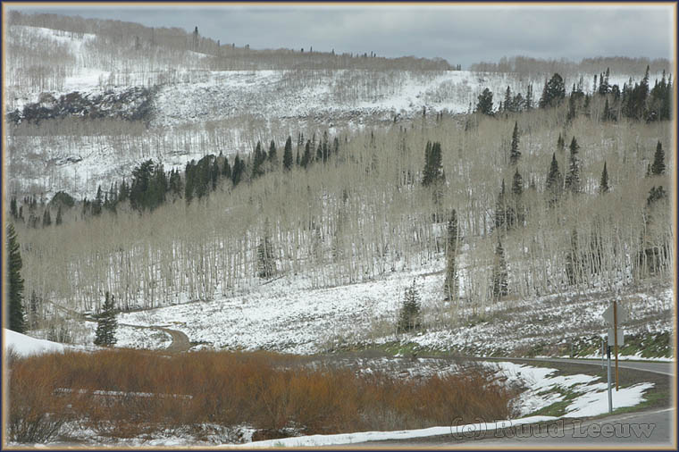
| When we left Richfield we took the I-70 north, but we both were not alert (perhaps a little travel weary, because we had enjoyed a good night and perfect breakfast) and missed the exit (Road 89 north) and continued on the I-70. We found out when we had been driving 45 minutes.. I have difficulty in turning around, driving the same road again. So we accepted a long detour and this resulted in one of the most beautiful drives we had this vacation! |
 |
 |
 |

|

|
 Wasatch Range is a mountain range that stretches about 160 miles (260 km) from the Utah- Idaho border, south through central Utah in the western United States. Wasatch Range is a mountain range that stretches about 160 miles (260 km) from the Utah- Idaho border, south through central Utah in the western United States. It is generally considered the western edge of the greater Rocky Mountains, and the eastern edge of the Great Basin region. The northern extension of the Wasatch Range, the Bear River Mountains, extends just into Idaho, constituting all of the Wasatch Range in that state. According to the Utah History Encyclopedia, 'Wasatch' in Ute means "mountain pass" or "low pass over high range"... [Wikipedia] |
 |
 Manti-Lasal National Forest |
 |

|
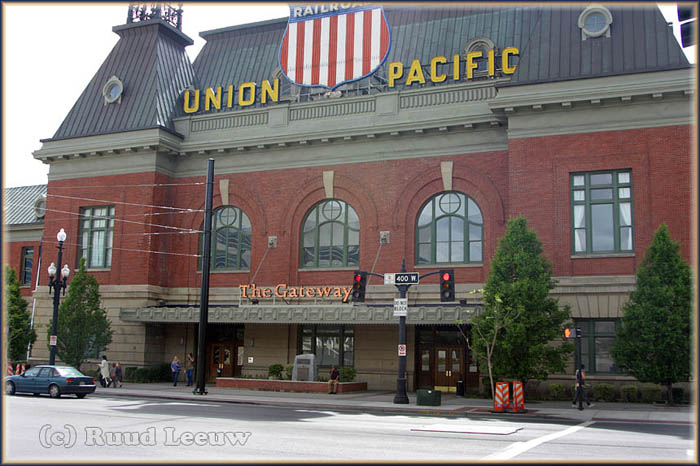 The Gateway was within walking distance of our motel in Salt Lake City. The historic Union Pacific Depot was renovated and is open to the public at The Gateway; it is the front to the shopping mall. |
 |
 |
|
|
 |
| A very rewarding visit was made to the archives of the Mormon Church; but one day here proofed to be too short and a return visit is high on the list.. |
 |
 |
| Salt Lake City marked the end of the route through Utah; after only a day here it was time to move on, heading for the border.. |
|


